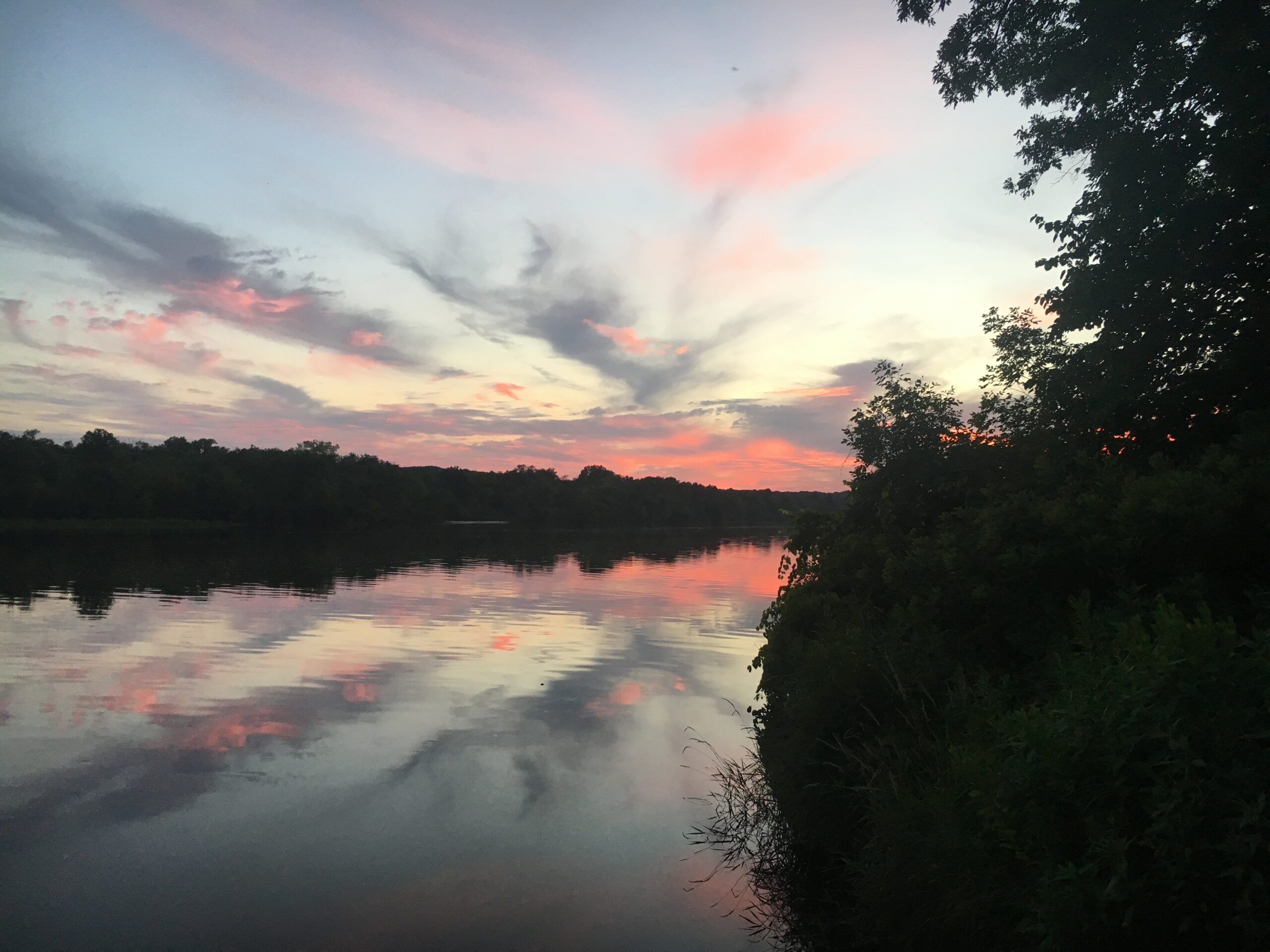
The St. Croix and Namekagon Rivers converge to create the St. Croix National Scenic Riverway, a 200-mile stretch of pristine water flowing through a lush, forested landscape. Designated as one of the original eight rivers protected by the National Wild and Scenic Rivers Act of 1968, the St. Croix also forms the border between Minnesota and Wisconsin.
In the summer of 2017, I had the privilege of interning with the National Park Service at the St. Croix Falls, Wisconsin visitor center. As a park guide intern, I had the incredible opportunity to explore the St. Croix Scenic Riverway by kayak, boat, and at countless river access points. That summer, I came to truly appreciate the river’s beauty and serenity, often finding myself overwhelmed by the peace that surrounded me on the water. If you love being on the river and immersing yourself in nature, the St. Croix National Scenic Riverway is an experience you won’t want to miss!
Typically accessed by kayak, paddle-board, or boat, this article will guide you through various sections of the river to help you plan your next paddle adventure.
Fun Fact: During my internship, I was introduced to the bluegrass band Horseshoes & Hand Grenades. Their music, much of which is inspired by the St. Croix River and its stunning surroundings, quickly became a favorite of mine. Songs like River Rat, St. Croix Hills, and Wisconsin Water are must-listens—be sure to check them out!
Day Trips On the St. Croix National Scenic Riverway
Interstate Parks to Osceola Landing
Easily one of my favorite short paddle trips on the St. Croix, largely due to the dramatic Dalles—a deep gorge carved from basaltic rock thousands of years ago. Paddle a bit further, and you’ll encounter another set of towering basalt cliffs, offering even more stunning views. As you approach Osceola, beautiful sandstone bluffs begin to emerge. This stretch is quite popular, so if you’re renting equipment, be sure to make arrangements early.
Length: 6.6 Miles – Duration: 3-4 Hours – Difficulty: Easy
Location: St Croix Falls/Taylors Falls to Osceola
Nelsons Landing to Soderback Landing
My absolute favorite stretch of the river, transitioning from calm beauty to exhilarating excitement as you approach the rapids. You can choose to paddle through the Main Channel or detour through the Kettle River Slough—both offer rapids and campsites, so you can’t go wrong. The Main Channel and Slough eventually converge, leading to longer rapids and expansive views, immersing you in a true sense of wilderness as you glide through the water in your canoe or kayak.
Length: 8 miles – Duration 3-5 hours – Difficulty: Moderate
Location: Near Grantsburg, WI
Interstate State Park Landing to William O-Brien State Park Landing
The lower St. Croix, a Wild and Scenic River, is an absolute gem with its tranquil, tree-lined backwaters. It winds through a rugged, forested valley, with dramatic sandstone and limestone bluffs popping up along the way. The meandering side channels and peaceful, shaded coves are perfect for quiet exploration and some killer fishing.
Length: 14.8 miles – Duration 5-7 hours – Difficulty – Moderate/hard
Location: St.Croix Falls/Taylors Falls

Overnight Paddling/Camping On the St. Croix Riverway:
Everything You Need to Know for an Overnight Canoe or Kayak Trip on the St. Croix
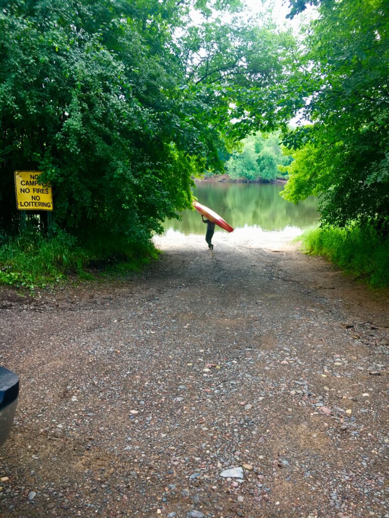
An overnight paddling trip on the St. Croix is one of my most memorable camping experiences! The campsites are first-come, first-served and only accessible by water, so you have a good chance of securing a spot—just be sure to keep an eye out for the brown campsite signs, which are easy to miss. I highly recommend bringing a map to help you locate campsites in advance. Since you’ll be paddling to your site, you’ll need to bring all your camping gear with you in your canoe or kayak.
A well-fitting hiking backpack is perfect for carrying food, drinks, and supplies. You can bring your own canoe, or many outfitting companies along the river offer rentals and transportation services, including drop-off and pick-up. Just let them know your starting and ending points. Most rental companies use walkie-talkies or have a system in place to ensure they can pick you up at the end of your trip, so you can take your time and enjoy the river at your own pace!
Camping Permits Required if you camping on the St. Croix River between U.S. Highway 8 (St. Croix Falls/Taylors Falls) and the Soo Line High Bridge. See NPS website for additional information and requirements for camping in this section of the river. Camping permits are free and you can stop in the visitor center in St. Croix Falls to obtain one or simply download the camping permit application and mail or fax to the National Park Service in St. Croix Falls.
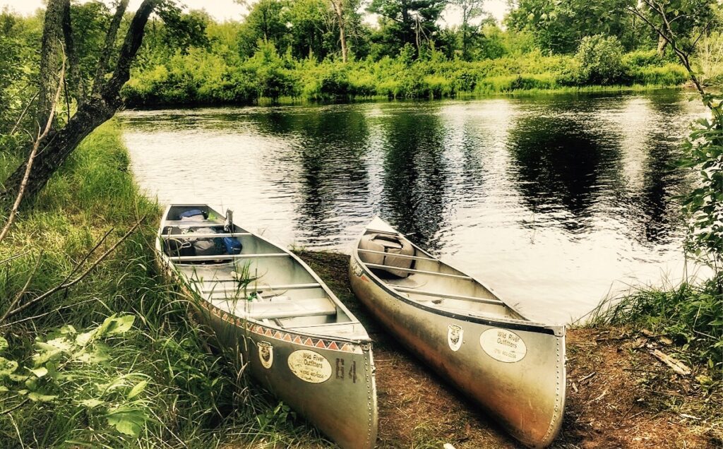
Best Overnight Paddling Routes on the St. Croix River
Sand Creek Landing to Highway 70 Landing
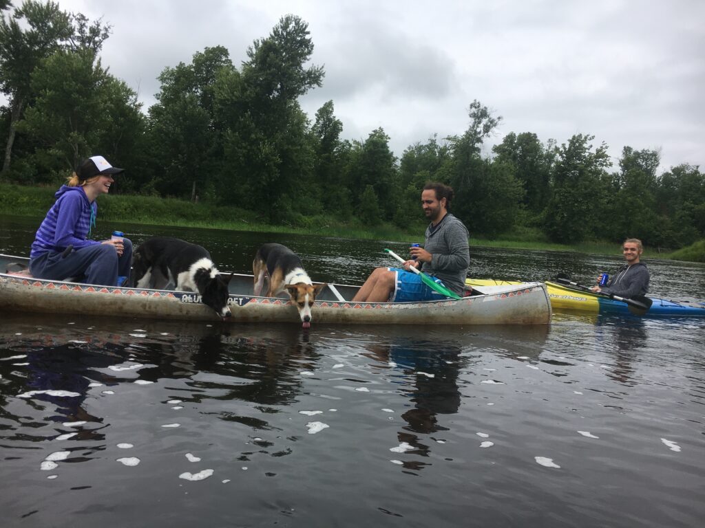
We rented our kayaks and canoes from Wild River Outfitters Canoe and Kayak Rental & Shuttle in Grantsburg, WI, and they were fantastic—easy to work with and reliable. After dropping us off at Sand Creek Landing, we began our paddle down the river. A couple of hours in, we found a great spot for our campsite. It was Campsite 96.7 on the map, about 8.3 miles from where we started.
We specifically wanted to camp near the rapids so we could fall asleep to the soothing sound of the water, and we were thrilled with our site. Our campsite was on a small island, which was perfect for us since we had my brother’s two dogs, Koda and Rigby, with us. The island allowed them to roam freely without the risk of getting lost inland.
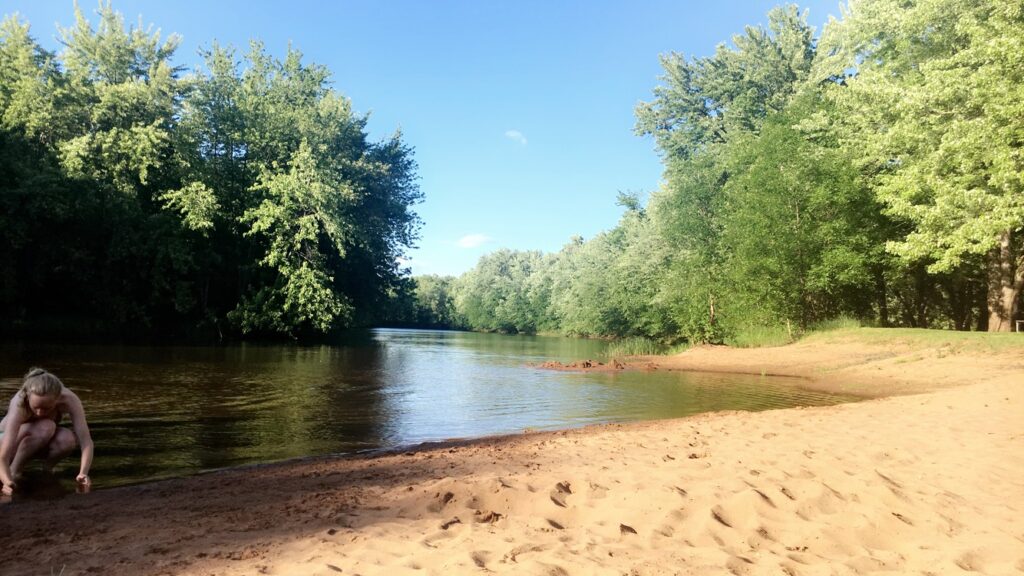
The next morning, we resumed our paddle, making a few stops along the way for a swim on a sandbar in the middle of the river. Once we reached the end, we called the outfitter, and they picked us up—smooth and easy!
Length: 15 miles, Duration – 1 night (2 days), Difficulty: Moderate (with rapids) Campsites: 13
Interstate Parks to Somerset
This stretch of the river holds a special place in my heart. It’s where I spent the most time as a park guide intern, which makes this trip particularly meaningful to me. As I paddled through the area, I passed the property where I lived during my internship. It reminded me that even that summer, I couldn’t escape the river, no matter how hard I tried. This stretch spans 16.4 miles, with 6.8 miles from Wisconsin Interstate Park to Osceola Landing and 9.8 miles from Osceola Landing to Somerset Landing. There are 13 campsites along the way. As you embark down the river, you’ll be surrounded by towering basalt walls carved by ancient glacial meltwaters. Keep an eye out for bald eagles soaring above the trees, great blue herons wading silently along the shoreline, and peregrine falcons watching from their high perches in this stunning, wildlife-rich canyon.
Length: 16.4 miles, Duration- 1 night (2 days), Difficulty: Easy/Moderate Campsites
{Land Accessible Campsites Hack}
Want to camp on the St. Croix River but not up for an overnight paddle trip? I’ve got you covered! A little-known gem lies just north of St. Croix Falls, on the Wisconsin side, past Lions Park Landing on River Road. These are some of the only campsites within the National Scenic Riverway you can reach by car, not just by water! Want the inside scoop on how to find them? Message me for all the details.
*Looking for a more traditional campground to reserve for your adventure? Here are some great options: William O’Brien State Park – Interstate State Park – Wild River State Park – St. Croix Bluffs Regional Park – St. Croix State Park.
Camping Tips:
- No fees are charged for the use of landings, campsites (which are first come, first served), or other facilities. This applies to all federal lands within the boundary of the Riverway.
- Check the weather before you start your paddling trip ALWAYS and let somebody where you are starting and ending.
- Check the NPS website for current water levels and updates
- BRING A MAP – cell service limited
- Get on the water early to secure a campsite
- Ticks! Beware of ticks in this area, do constant checks and wear bug repellent.
- Ask your local Park Ranger if you have any questions or concerns BEFORE you get out on the river
Other things to do in the area: (from a seasonal-local)
Tippy Canoe
in Osceola, Wisconsin. Seriously some of the best cheese curds known to man. Eat at my all time favorite restaurant.
River Tubing
on the Apple River – tubing down a river with a tube filled with beer? I can’t think of anything more midwest and incredible?
Visit Stillwater Minnesota
The Stillwater Lift Bridge is one of the few remaining lift bridges in the country. It’s an iconic landmark spanning the St. Croix River. Explore the town’s historic districts on the Stillwater Trolley, which offers a charming guided tour. Afterward, enjoy the local wine and spirits scene, with spots like A to Z Distillery and Stillwater Winery offering a taste of the town’s best.
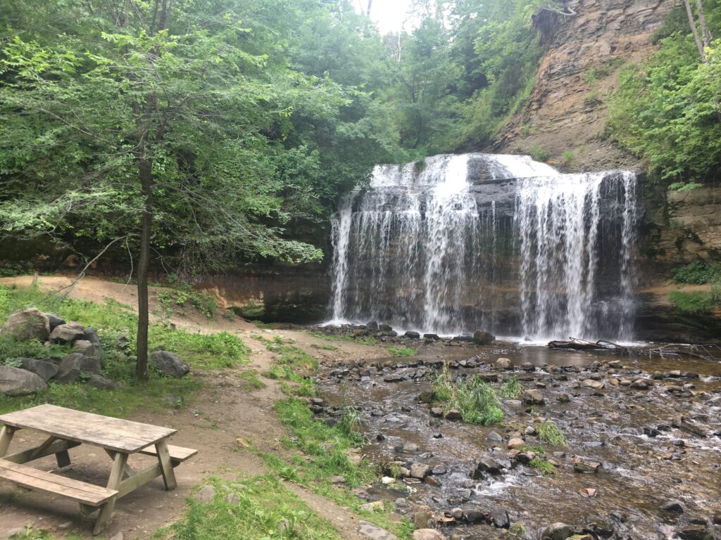
Hiking
This area isn’t just about the water—it’s home to incredible trails and parks waiting to be explored! Interstate Park in Minnesota boasts the world’s largest concentration of glacial potholes. Formed by powerful eddies of meltwater that drilled into hard basalt rock. The deepest measurable pothole, known as the Bottomless Pit, descends nearly 70 feet. Just across the river, you’ll find the Ice Age Trail in St. Croix Falls, Wisconsin. It features a stunning section of the 1,000-mile Ice Age National Scenic Trail. Hikers can experience diverse landscapes shaped by glaciers. These include rugged terrain, glacial moraines, kettles, and breathtaking views of the St. Croix River.
Franconia Sculpture Park
Each year, forty resident artists from around the world bring a wide range of experience to the program. They produce large-scale sculptures designed for visitors to touch, climb on, and explore.
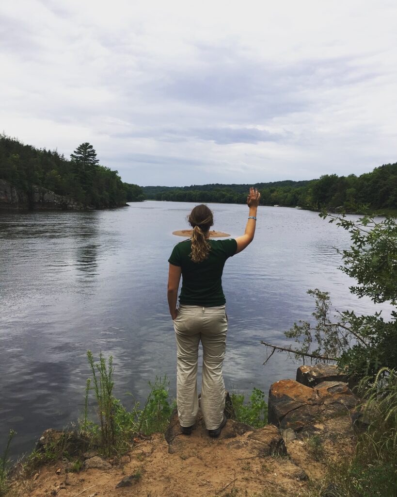
I feel incredibly fortunate to have spent an entire summer in this beautiful area. The St. Croix National Scenic Riverway will always hold a special place in my heart. Getting to spend so much time outside on the river and assisting other’s with their own paddling adventures was a great way to spend an internship! I hope this article inspires you to experience the river for yourself. You may just find yourself feeling the same sense of awe I felt back in that summer of 2017.
If you liked this article – check out Pictured Rocks National Lakeshore Travel Guide: Best Hikes, Waterfalls & Hiking and explore more MIDWEST!
Leave a Reply